File:Bergpark wilhelmshoehe karte 1.jpg
Jump to navigation
Jump to search
Size of this preview: 437 × 600 pixels. Other resolutions: 175 × 240 pixels | 577 × 792 pixels.
Original file (577 × 792 pixels, file size: 276 KB, MIME type: image/jpeg)
Captions
Captions
Add a one-line explanation of what this file represents
| Description |
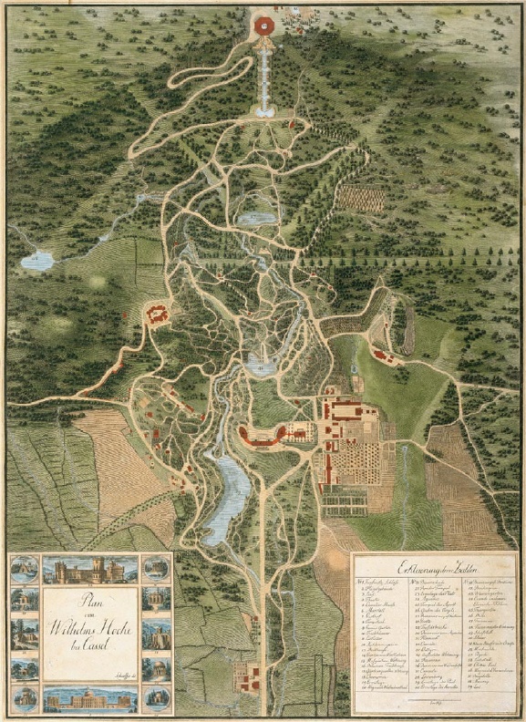
Deutsch: historische Karte Bergpark Wilhelmshöhe, ca. 1810
English: historic map of Bergpark Wilhelmshöhe, ca. 1810 |
||||
| Date | circa 1810 | ||||
| Source | Originally from de.wikipedia, uploded there by Hafenbar July 8, 2005; description page is (was) here | ||||
| Author | Unknown author | ||||
| Permission (Reusing this file) |
|
||||
| Openstreetmap entry | Link to Openstreetmap | ||||
| Object location | | View this and other nearby images on: OpenStreetMap |
|---|
File history
Click on a date/time to view the file as it appeared at that time.
| Date/Time | Thumbnail | Dimensions | User | Comment | |
|---|---|---|---|---|---|
| current | 19:15, 18 April 2006 | | 577 × 792 (276 KB) | Matt314 (talk | contribs) | {{Information| |Description= {{de|historische Karte Bergpark Wilhelmshöhe, ca. 1810}} {{en|historic map of Bergpark Wilhelmshöhe, ca. 1810}} |Source=Originally from [http://de.wikipedia.org de.wikipedia], uploded there by Hafenbar |
You cannot overwrite this file.
File usage on Commons
The following 3 pages use this file:
File usage on other wikis
The following other wikis use this file:
- Usage on ca.wikipedia.org
- Usage on cs.wikipedia.org
- Usage on da.wikipedia.org
- Usage on de.wikipedia.org
- Usage on el.wikipedia.org
- Usage on fr.wikipedia.org
- Usage on hr.wikipedia.org
- Usage on id.wikipedia.org
- Usage on it.wikipedia.org
- Usage on lt.wikipedia.org
- Usage on nl.wikipedia.org
- Usage on no.wikipedia.org
- Usage on pt.wikipedia.org
- Usage on ro.wikipedia.org
- Usage on sv.wikipedia.org
- Usage on www.wikidata.org