File:Baumgartenberg-StUlrich-AustriaeSuperiorisAnno1667-Detail.JPG
Jump to navigation
Jump to search
Size of this preview: 800 × 547 pixels. Other resolutions: 320 × 219 pixels | 640 × 438 pixels | 1,024 × 700 pixels | 1,142 × 781 pixels.
Original file (1,142 × 781 pixels, file size: 226 KB, MIME type: image/jpeg)
Captions
Captions
Add a one-line explanation of what this file represents
Summary
[edit]
| Description |
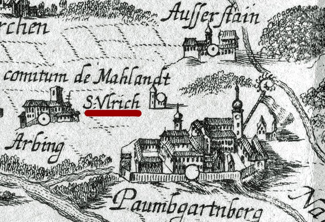
Deutsch: Detail der Landkarte Austriae Superioris Aanno 1667 mit Kirchlein St. Ulrich am Ulrichsberg in Gemeinde Baumgartenberg in Oberösterreich (Austria) |
| Date | |
| Source | Topographia Austriae Superioris 1674 von Georg Matthaeus Vischer |
| Author | Georg Matthaeus Vischer |
Licensing
[edit]
|
This work is in the public domain in its country of origin and other countries and areas where the copyright term is the author's life plus 70 years or fewer. | |
| This file has been identified as being free of known restrictions under copyright law, including all related and neighboring rights. | |
File history
Click on a date/time to view the file as it appeared at that time.
| Date/Time | Thumbnail | Dimensions | User | Comment | |
|---|---|---|---|---|---|
| current | 16:12, 19 January 2019 | | 1,142 × 781 (226 KB) | TREM-RRRR (talk | contribs) | {{Information |description ={{de|1=Detail der Landkarte Austriae Superioris Aanno 1667 mit Kirchlein St. Ulrich am Ulrichsberg in Gemeinde Baumgartenberg in Oberösterreich (Austria)}} |date =1667 |source =Topographia Austriae Superioris 1674 von Georg Matthaeus Vischer |author =Georg Matthaeus Vischer }} Category:Burg Machland (Baumgartenberg) Category:Baumgartenberg |
You cannot overwrite this file.
File usage on Commons
The following page uses this file:
File usage on other wikis
The following other wikis use this file:
- Usage on de.wikipedia.org