File:Ascension Island Lava fields.jpg
Jump to navigation
Jump to search
No higher resolution available.
Ascension_Island_Lava_fields.jpg (800 × 600 pixels, file size: 204 KB, MIME type: image/jpeg)
Captions
Captions
Add a one-line explanation of what this file represents
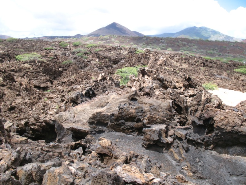
| Description | Lava fields on Ascension Island |
| Date | |
| Source | Lava fields |
| Author | Ben Tullis from Cambridge, United Kingdom |
| Camera location | | View this and other nearby images on: OpenStreetMap |
|---|
Licensing
[edit]
This file is licensed under the Creative Commons Attribution 2.0 Generic license.
- You are free:
- to share – to copy, distribute and transmit the work
- to remix – to adapt the work
- Under the following conditions:
- attribution – You must give appropriate credit, provide a link to the license, and indicate if changes were made. You may do so in any reasonable manner, but not in any way that suggests the licensor endorses you or your use.
| This image was originally posted to Flickr by tullis at https://www.flickr.com/photos/7573630@N04/2480840263. It was reviewed on 7 September 2008 by FlickreviewR and was confirmed to be licensed under the terms of the cc-by-2.0. |
File history
Click on a date/time to view the file as it appeared at that time.
| Date/Time | Thumbnail | Dimensions | User | Comment | |
|---|---|---|---|---|---|
| current | 22:11, 6 September 2008 | | 800 × 600 (204 KB) | MarsRover (talk | contribs) | {{Information |Description=Lava fields on Ascension Island |Source=[http://www.flickr.com/photos/7573630@N04/2480840263/ Lava fields] |Date=May 07, 2008 at 12:46 |Author=[http://www.flickr.com/people/7573630@N04 Ben Tullis] from Cambridge, United Kingdom |
You cannot overwrite this file.
File usage on Commons
There are no pages that use this file.
File usage on other wikis
The following other wikis use this file:
- Usage on de.wikipedia.org
- Usage on en.wikipedia.org
- Usage on eo.wikipedia.org
- Usage on lt.wikipedia.org
- Usage on nl.wikipedia.org
- Usage on ru.wikipedia.org
- Usage on sl.wikipedia.org