File:Antwerp - Sint-Annatunnel 005.jpg
Jump to navigation
Jump to search
Size of this preview: 800 × 574 pixels. Other resolutions: 320 × 230 pixels | 640 × 459 pixels | 1,024 × 734 pixels | 1,280 × 918 pixels | 1,489 × 1,068 pixels.
Original file (1,489 × 1,068 pixels, file size: 208 KB, MIME type: image/jpeg)
Captions
Captions
Add a one-line explanation of what this file represents
Summary
[edit]
| Description |
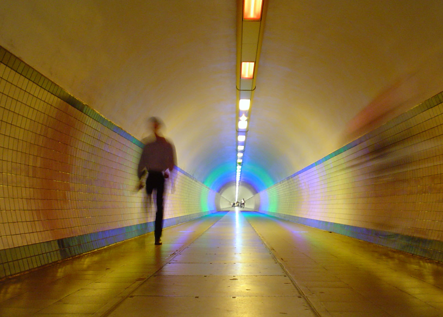
Nederlands: Tunnelwerken uitgevoerd van 1931 tot 1933 naar het ontwerp van Frankignoul; de architectuur van de bovenbouwen werd verzorgd door E. Van Averbeke. Het Kleine Tunnelgebouw kwam op de plaats van de Waterpoort of Koninklijke poort, afkomstig van de Vlasmarkt, die uiteengenomen en in 1936 terug geplaatst werd op de Gillisplaats.
Bron: Goossens M.& Plomteux G. met medewerking van Linters A., Steyaert R., Illegems P. & De Barsée L. 1976: Inventaris van het cultuurbezit in België, Architectuur, Stad Antwerpen, Bouwen door de eeuwen heen 3NA, Brussel - Gent.Auteurs: Goossens , Miek & Plomteux, Greet
|
||
| Date | 21 September 2011 (upload date) | ||
| Source | Own work | ||
| Author | MarcVermeirsch |
| Object location | | View this and other nearby images on: OpenStreetMap |
|---|

|
This image was uploaded as part of Wiki Loves Monuments 2011.
|
 |
Licensing
[edit]
I, the copyright holder of this work, hereby publish it under the following license:
| This file is made available under the Creative Commons CC0 1.0 Universal Public Domain Dedication. | |
| The person who associated a work with this deed has dedicated the work to the public domain by waiving all of their rights to the work worldwide under copyright law, including all related and neighboring rights, to the extent allowed by law. You can copy, modify, distribute and perform the work, even for commercial purposes, all without asking permission.
|
File history
Click on a date/time to view the file as it appeared at that time.
| Date/Time | Thumbnail | Dimensions | User | Comment | |
|---|---|---|---|---|---|
| current | 16:11, 21 September 2011 | | 1,489 × 1,068 (208 KB) | MarcVermeirsch (talk | contribs) | {{Information |Description = {{nl|1=Tunnelwerken uitgevoerd van 1931 tot 1933 naar het ontwerp van Frankignoul; de architectuur van de bovenbouwen werd verzorgd door E. Van Averbeke. Het Kleine Tunnelgebouw kwam op de plaats van de Waterpoort of Koninkli |
You cannot overwrite this file.
File usage on Commons
The following 5 pages use this file:
File usage on other wikis
The following other wikis use this file:
- Usage on nl.wikipedia.org
- Usage on nl.wiktionary.org