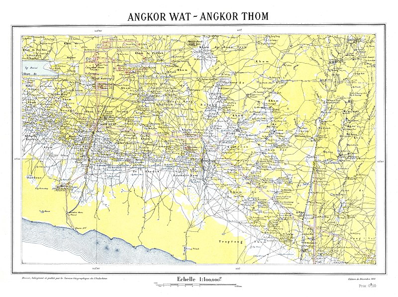
File:Angkor region map.jpg
From Wikimedia Commons, the free media repository
Jump to navigation
Jump to search

Size of this preview: 800 × 597 pixels. Other resolutions: 320 × 239 pixels | 640 × 477 pixels | 1,024 × 764 pixels | 1,280 × 955 pixels | 2,560 × 1,909 pixels | 5,164 × 3,851 pixels.
Original file (5,164 × 3,851 pixels, file size: 7.52 MB, MIME type: image/jpeg)
File information
Structured data
Captions
Captions
Add a one-line explanation of what this file represents
Summary
[edit]| DescriptionAngkor region map.jpg |
Angkor Wat, Angkor Thom |
|||||||||
| Date | ||||||||||
| Source | Bibliothèque nationale de France, département Cartes et plans, GE D-8820 | |||||||||
| Creator |
Service géographique de l'Indochine (Hanoï) |
|||||||||
| Permission (Reusing this file) |
|
|||||||||
| Geotemporal data | ||||||||||
| Bounding box |
|
|||||||||
| Georeferencing | View the georeferenced map in the Wikimaps Warper | |||||||||
File history
Click on a date/time to view the file as it appeared at that time.
| Date/Time | Thumbnail | Dimensions | User | Comment | |
|---|---|---|---|---|---|
| current | 16:39, 12 April 2018 |  | 5,164 × 3,851 (7.52 MB) | Shyamal (talk | contribs) | {{Information |Description= Angkor Wat, Angkor Thom |Source=[http://gallica.bnf.fr/ark:/12148/btv1b8459160v/f1.item.r=Angkor.zoom Bibliothèque nationale de France, département Cartes et plans, GE D-8820 ] |Date=1932 |Author=Service géographique de l'Indochine (Hanoï) |Permission={{PD-France|As given on Gallica}} |other_versions= }} Category:Maps of Angkor |
You cannot overwrite this file.
File usage on Commons
The following page uses this file:
Structured data
Items portrayed in this file
depicts
image/jpeg
3a895552504b757e03dda4910c55a0d850fa7ab6
7,885,298 byte
3,851 pixel
5,164 pixel
Hidden categories:
