File:Aerial view of Salzburg 4.jpg
Jump to navigation
Jump to search
Size of this preview: 800 × 600 pixels. Other resolutions: 320 × 240 pixels | 640 × 480 pixels | 1,024 × 768 pixels | 1,280 × 960 pixels | 2,560 × 1,920 pixels | 4,048 × 3,036 pixels.
Original file (4,048 × 3,036 pixels, file size: 1.89 MB, MIME type: image/jpeg)
Captions
Captions
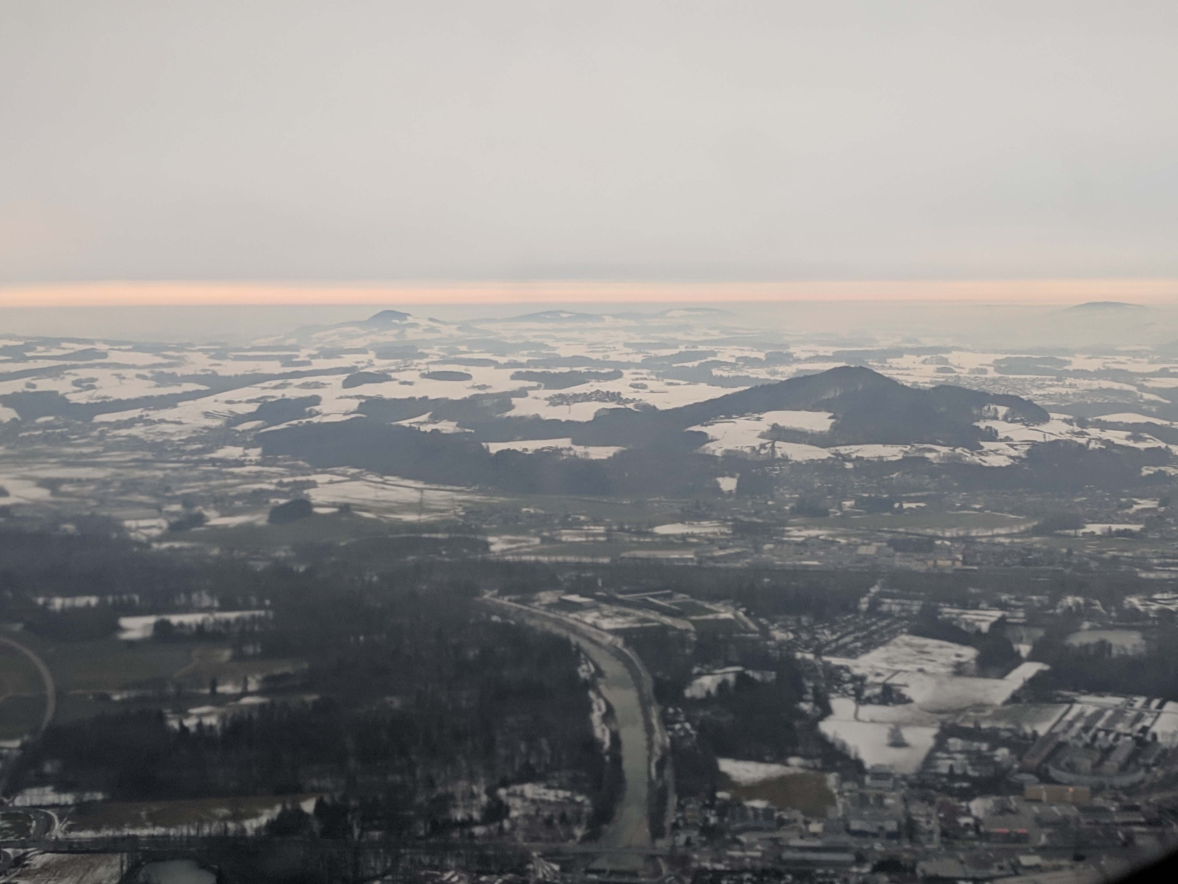
An aerial view of Salzburg
Summary
[edit]
| Description |
English: An aerial view of Salzburg, Austria, taken from a flight from SALZBURG to LONDON HEATHROW |
| Date | |
| Source | Own work |
| Author | Richard Symonds |
| Camera location | | View this and other nearby images on: OpenStreetMap |
|---|
Licensing
[edit]
I, the copyright holder of this work, hereby publish it under the following license:
This file is licensed under the Creative Commons Attribution-Share Alike 4.0 International license.
- You are free:
- to share – to copy, distribute and transmit the work
- to remix – to adapt the work
- Under the following conditions:
- attribution – You must give appropriate credit, provide a link to the license, and indicate if changes were made. You may do so in any reasonable manner, but not in any way that suggests the licensor endorses you or your use.
- share alike – If you remix, transform, or build upon the material, you must distribute your contributions under the same or compatible license as the original.
| Annotations | This image is annotated: View the annotations at Commons |
File history
Click on a date/time to view the file as it appeared at that time.
| Date/Time | Thumbnail | Dimensions | User | Comment | |
|---|---|---|---|---|---|
| current | 15:12, 24 January 2019 | | 4,048 × 3,036 (1.89 MB) | Chase me ladies, I'm the Cavalry (talk | contribs) | User created page with UploadWizard |
You cannot overwrite this file.
File usage on Commons
The following page uses this file:
Metadata
Categories:
- Aerial photographs of Landkreis Berchtesgadener Land
- Saalach in Salzburg
- Borders of Austria-Germany
- January 2019 Bavaria photographs
- Views of Freilassing
- Hochgitzen
- Aerial photographs of Salzburg (state)
- January 2019 in Salzburg (state)
- Liefering (Salzburg)
- Muntigler Hügel
- Snowy landscapes in Austria
- Snow in Bezirk Salzburg-Umgebung
- Snow in Salzburg (state) in January
- Snow in Austria in January 2019