File:A14 passes over Fornham Road - geograph.org.uk - 1479645.jpg
Jump to navigation
Jump to search
No higher resolution available.
A14_passes_over_Fornham_Road_-_geograph.org.uk_-_1479645.jpg (640 × 481 pixels, file size: 64 KB, MIME type: image/jpeg)
Captions
Captions
Add a one-line explanation of what this file represents
Summary
[edit]
| Description |
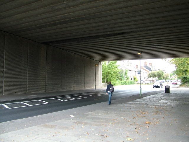
English: A14 passes over Fornham Road This very wide bridge carries the A14 dual carriageway over Fornham Road. The banking required by the curve on top is clearly visible in the construction, but having driven it I would say there is not really enough banking to remove cornering loads for the usual 70mph traffic.
This part was started before I moved to Bury but I guess several Victorian terraced houses had to go to make space for the new road - you can see some to the south of the bridge. The span was evidently made wide enough to allow Fornham Road to also be widened, even though this would require taking the front gardens of dozens of houses. |
| Date | |
| Source | From geograph.org.uk |
| Author | John Goldsmith |
| Attribution (required by the license) | John Goldsmith / A14 passes over Fornham Road / |
| Camera location | | View this and other nearby images on: OpenStreetMap |
|---|
_heading:112.00&language=en)
| Object location | | View this and other nearby images on: OpenStreetMap |
|---|
_heading:112.00&language=en)
Licensing
[edit]

|
This image was taken from the Geograph project collection. See this photograph's page on the Geograph website for the photographer's contact details. The copyright on this image is owned by John Goldsmith and is licensed for reuse under the Creative Commons Attribution-ShareAlike 2.0 license.
|
This file is licensed under the Creative Commons Attribution-Share Alike 2.0 Generic license.
Attribution: John Goldsmith
- You are free:
- to share – to copy, distribute and transmit the work
- to remix – to adapt the work
- Under the following conditions:
- attribution – You must give appropriate credit, provide a link to the license, and indicate if changes were made. You may do so in any reasonable manner, but not in any way that suggests the licensor endorses you or your use.
- share alike – If you remix, transform, or build upon the material, you must distribute your contributions under the same or compatible license as the original.
File history
Click on a date/time to view the file as it appeared at that time.
| Date/Time | Thumbnail | Dimensions | User | Comment | |
|---|---|---|---|---|---|
| current | 11:01, 2 March 2011 | | 640 × 481 (64 KB) | GeographBot (talk | contribs) | == {{int:filedesc}} == {{Information |description={{en|1=A14 passes over Fornham Road This very wide bridge carries the A14 dual carriageway over Fornham Road. The banking required by the curve on top is clearly visible in the construction, but having dri |
You cannot overwrite this file.
File usage on Commons
There are no pages that use this file.