File:20090701 Nijdam Hoornse Plas Hoornse Meer Groningen NL.jpg
Jump to navigation
Jump to search
Size of this preview: 600 × 600 pixels. Other resolutions: 240 × 240 pixels | 480 × 480 pixels | 768 × 768 pixels | 1,024 × 1,024 pixels | 2,000 × 2,000 pixels.
Original file (2,000 × 2,000 pixels, file size: 2.59 MB, MIME type: image/jpeg)
Captions
Captions
Add a one-line explanation of what this file represents
| Description |
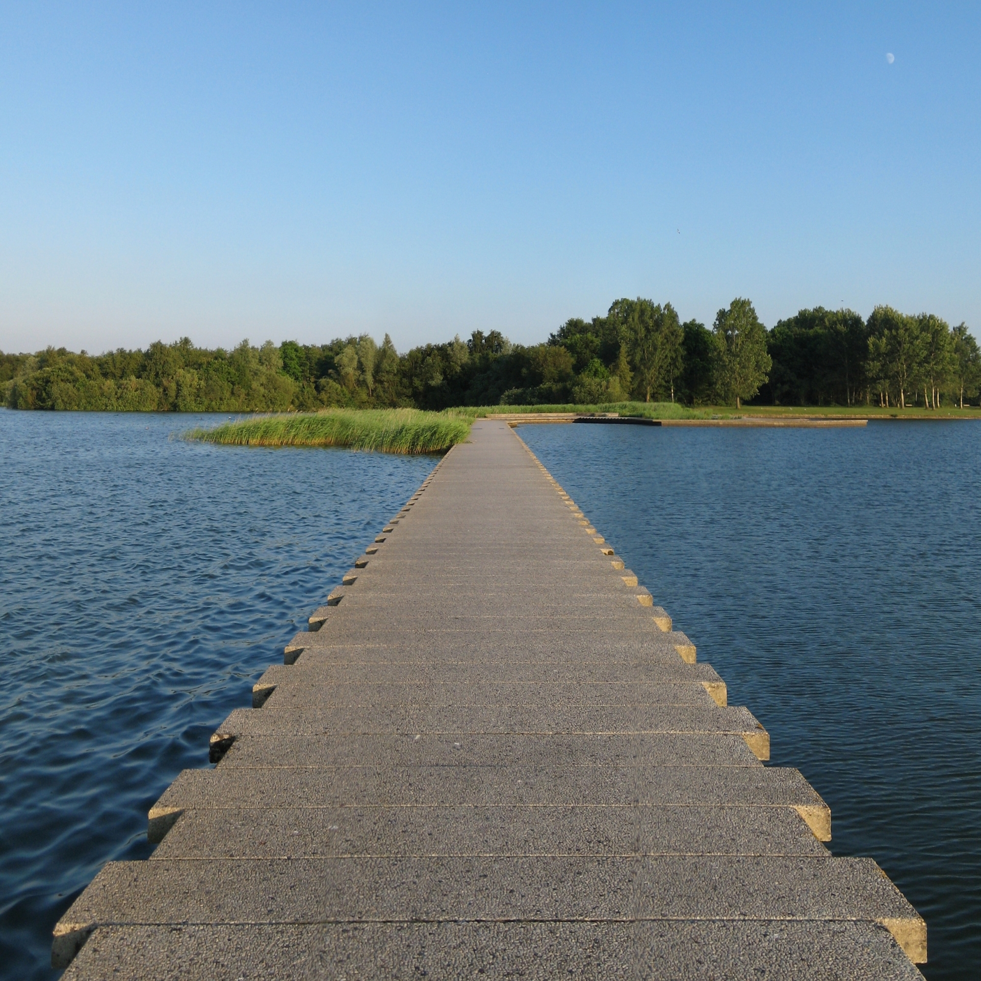
Frysk: De Nijdam, de skieding tusken it Hoornse Meer (links) en de Hoornse Plas, dy't súdlik fan Grins lizze.
Nederlands: De Nijdam, de scheiding tussen het Hoornse Meer (links) en de Hoornse Plas, die ten zuiden van de stad Groningen liggen. |
| Date | |
| Source | Own work |
| Author | |
| Attribution (required by the license) | Wutsje / Wikimedia Commons / |
| Permission (Reusing this file) |
This file is licensed under the Creative Commons Attribution-Share Alike 3.0 Unported license.
|
| Camera location | | View this and other nearby images on: OpenStreetMap |
|---|
File history
Click on a date/time to view the file as it appeared at that time.
| Date/Time | Thumbnail | Dimensions | User | Comment | |
|---|---|---|---|---|---|
| current | 02:00, 13 May 2010 | | 2,000 × 2,000 (2.59 MB) | Wutsje (talk | contribs) | {{Information |Description={{en|1=Dam in the ''Hoornse Plas'', a recreational ground south of the Dutch city of Category:Groningen (city).}} {{fy|1=De ''Nijdam'', de skieding tusken de ''Hoornse Plas'' (rjochts) en it ''Hoornse Meer'', dy't súdlik f |
You cannot overwrite this file.
File usage on Commons
The following 2 pages use this file:
File usage on other wikis
The following other wikis use this file:
- Usage on en.wikipedia.org
- Usage on incubator.wikimedia.org
- Usage on jv.wikipedia.org
- Usage on kn.wikipedia.org
- Usage on nl.wikipedia.org
- Usage on ps.wikipedia.org
- Usage on www.wikidata.org