File:1850 Lviv's plan.jpg
Jump to navigation
Jump to search

Size of this preview: 729 × 600 pixels. Other resolutions: 292 × 240 pixels | 584 × 480 pixels | 934 × 768 pixels | 1,245 × 1,024 pixels | 1,500 × 1,234 pixels.
Original file (1,500 × 1,234 pixels, file size: 248 KB, MIME type: image/jpeg)
Captions
Captions
Add a one-line explanation of what this file represents
Summary
[edit]
| Description |
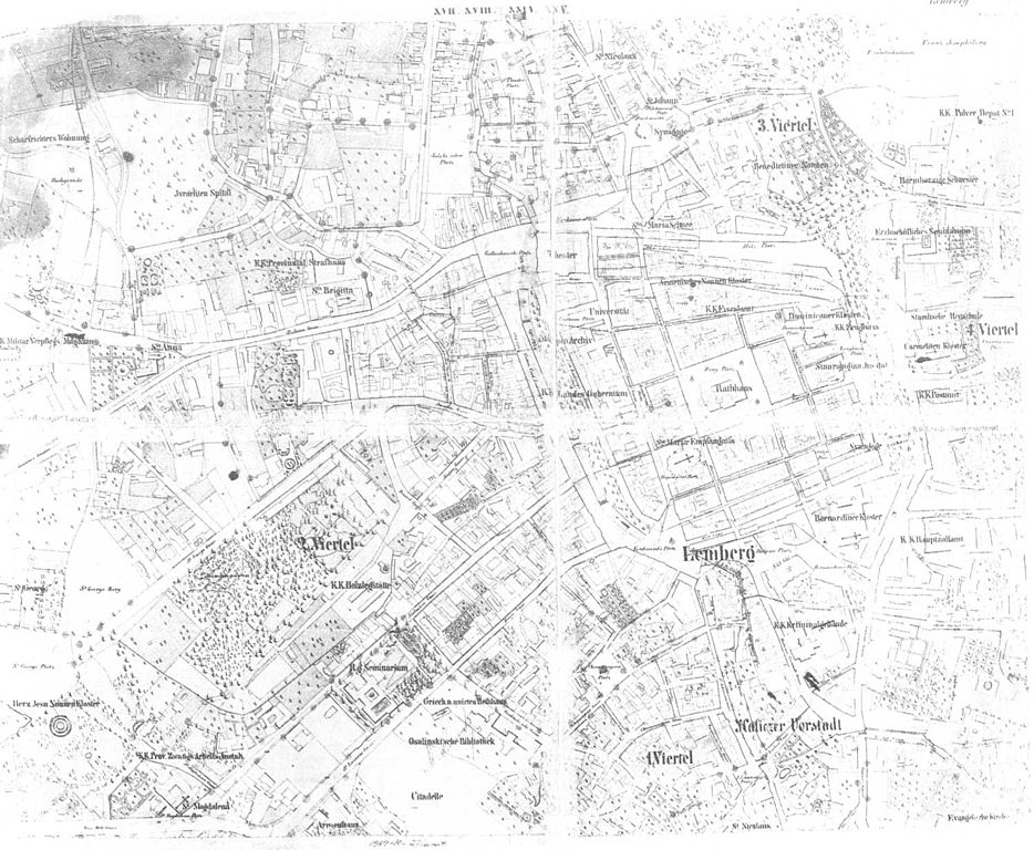
English: Map of Lviv, Ukraine, 1850. |
| Source | scanned from unknown book |
| Author |
Licensing
[edit]
|
This work is in the public domain in its country of origin and other countries and areas where the copyright term is the author's life plus 70 years or fewer. | |
| This file has been identified as being free of known restrictions under copyright law, including all related and neighboring rights. | |
File history
Click on a date/time to view the file as it appeared at that time.
| Date/Time | Thumbnail | Dimensions | User | Comment | |
|---|---|---|---|---|---|
| current | 16:04, 23 March 2006 | | 1,500 × 1,234 (248 KB) | ZAVR (talk | contribs) | scanned from unknown book |
You cannot overwrite this file.
File usage on Commons
The following page uses this file: