File:103-Eselskopf.jpg
Jump to navigation
Jump to search

Size of this preview: 800 × 591 pixels. Other resolutions: 320 × 236 pixels | 640 × 473 pixels | 1,024 × 757 pixels | 1,280 × 946 pixels | 2,560 × 1,892 pixels | 3,960 × 2,926 pixels.
Original file (3,960 × 2,926 pixels, file size: 8.05 MB, MIME type: image/jpeg)
Captions
Captions
Add a one-line explanation of what this file represents
Summary
[edit]
![]() Germany
Germany ![]() Hesse
Hesse ![]() Rheingau-Taunus-Kreis
Rheingau-Taunus-Kreis ![]() Niedernhausen - Taunus 391 m ü. NHN
Niedernhausen - Taunus 391 m ü. NHN
| Description |
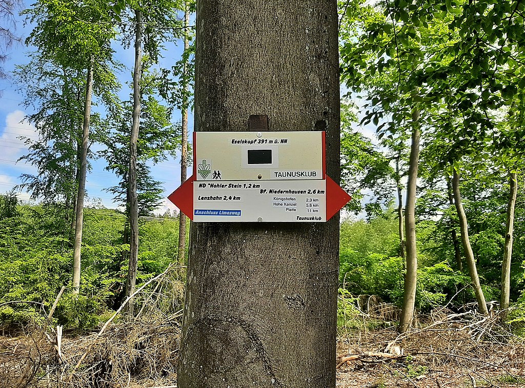
Deutsch: Wegweiser am Eselskopf oberhalb von Niedernhausen. |
| Date | Taken on 28 May 2021, 14:30:14 |
| Source | Own work |
| Author | FkMohr |
| Openstreetmap entry | Link to Openstreetmap |
| Object location | | View this and other nearby images on: OpenStreetMap |
|---|
| Camera location | | View this and other nearby images on: OpenStreetMap |
|---|
HE {BH210528-1430}
Licensing
[edit]
Friedrich-Karl Mohr, the copyright holder of this work, hereby publishes it under the following license:
This file is licensed under the Creative Commons Attribution-Share Alike 3.0 Germany license.
Attribution: Friedrich-Karl Mohr
- You are free:
- to share – to copy, distribute and transmit the work
- to remix – to adapt the work
- Under the following conditions:
- attribution – You must give appropriate credit, provide a link to the license, and indicate if changes were made. You may do so in any reasonable manner, but not in any way that suggests the licensor endorses you or your use.
- share alike – If you remix, transform, or build upon the material, you must distribute your contributions under the same or compatible license as the original.

File history
Click on a date/time to view the file as it appeared at that time.
| Date/Time | Thumbnail | Dimensions | User | Comment | |
|---|---|---|---|---|---|
| current | 18:07, 28 May 2021 | | 3,960 × 2,926 (8.05 MB) | FkMohr (talk | contribs) | Uploaded own work with UploadWizard |
You cannot overwrite this file.
File usage on Commons
The following 4 pages use this file:
File usage on other wikis
The following other wikis use this file:
- Usage on de.wikipedia.org