File:马可波罗广场近景.jpg
Jump to navigation
Jump to search

Size of this preview: 800 × 535 pixels. Other resolutions: 320 × 214 pixels | 640 × 428 pixels | 1,024 × 685 pixels.
Original file (1,024 × 685 pixels, file size: 319 KB, MIME type: image/jpeg)
Captions
Captions
Add a one-line explanation of what this file represents
| Description |
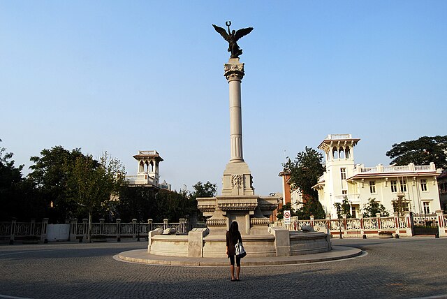
中文:马可波罗广场近景
English: Monument on Marco Polo Square in the former Italian conession in Tianjin |
||
| Date | |||
| Source | Flickr: DSC_0121 | ||
| Author | 墨色鲜艳 | ||
| Permission (Reusing this file) |
This file is licensed under the Creative Commons Attribution 2.0 Generic license.
|
| Camera location | | View this and other nearby images on: OpenStreetMap |
|---|
File history
Click on a date/time to view the file as it appeared at that time.
| Date/Time | Thumbnail | Dimensions | User | Comment | |
|---|---|---|---|---|---|
| current | 12:25, 16 August 2015 | | 1,024 × 685 (319 KB) | Neq00 (talk | contribs) | Aggiunte le coordinate geografiche nei dati Exif dell’immagine. |
| 23:46, 3 January 2011 |  | 1,024 × 685 (319 KB) | Flickr upload bot (talk | contribs) | Uploaded from http://flickr.com/photo/44181196@N03/5312033258 using Flickr upload bot |
You cannot overwrite this file.
File usage on Commons
File usage on other wikis
The following other wikis use this file:
- Usage on arz.wikipedia.org
- Usage on en.wikipedia.org
- Usage on es.wikipedia.org
- Usage on hu.wikipedia.org
- Usage on it.wikipedia.org
- Usage on zh.wikipedia.org