File:赤木城跡 - panoramio.jpg
Jump to navigation
Jump to search

Size of this preview: 800 × 531 pixels. Other resolutions: 320 × 213 pixels | 640 × 425 pixels | 1,024 × 680 pixels | 1,280 × 850 pixels | 2,560 × 1,700 pixels | 4,288 × 2,848 pixels.
Original file (4,288 × 2,848 pixels, file size: 2.09 MB, MIME type: image/jpeg)
Captions
Captions
Add a one-line explanation of what this file represents
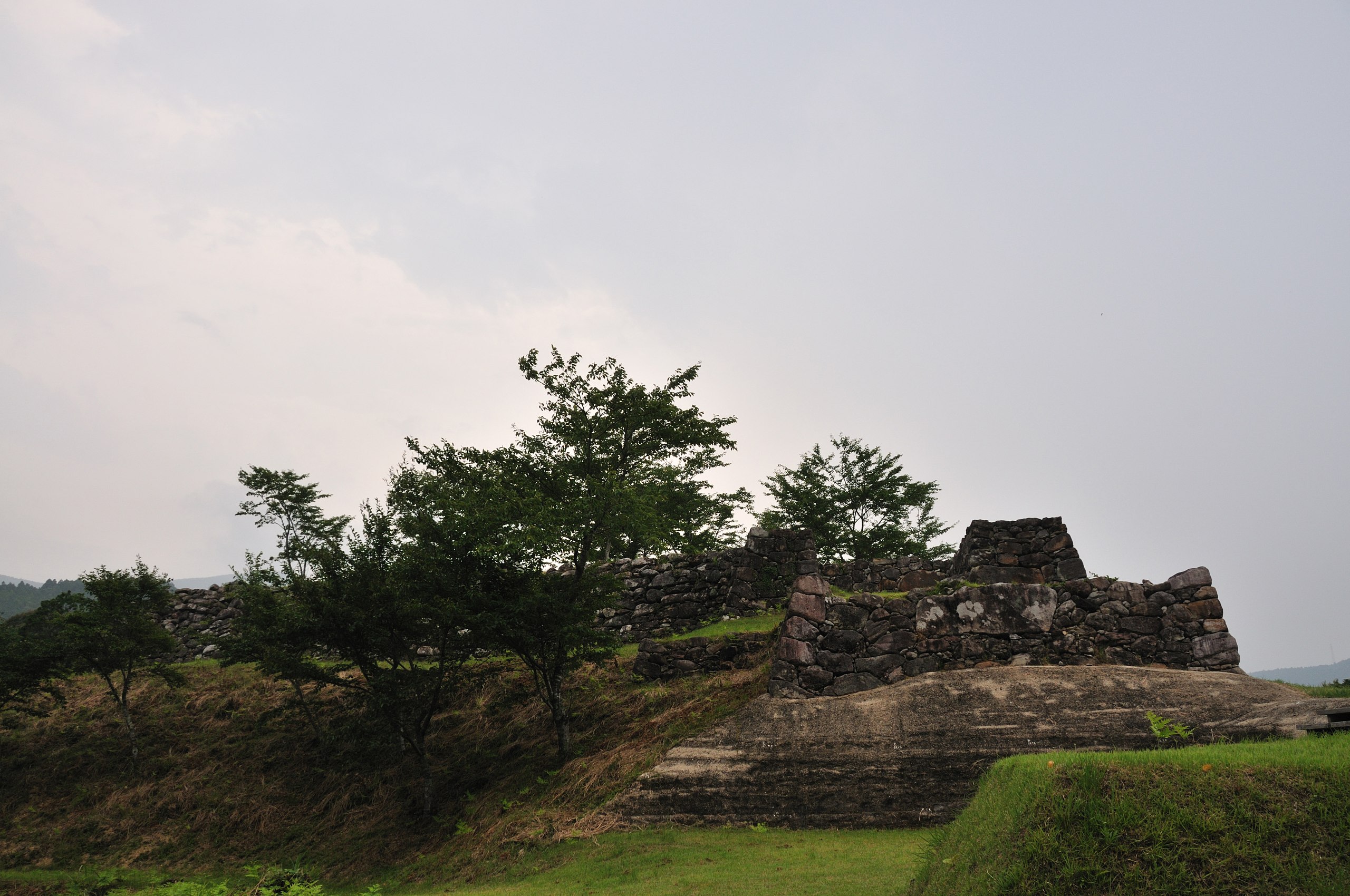
| Description | 赤木城跡 | ||
| Date | Taken on 6 July 2008 | ||
| Source | https://web.archive.org/web/20161012023854/http://www.panoramio.com/photo/11840228 | ||
| Author | helohelon | ||
| Permission (Reusing this file) |
This file is licensed under the Creative Commons Attribution-Share Alike 3.0 Unported license. Attribution: helohelon
|
| Camera location | | View this and other nearby images on: OpenStreetMap |
|---|
File history
Click on a date/time to view the file as it appeared at that time.
| Date/Time | Thumbnail | Dimensions | User | Comment | |
|---|---|---|---|---|---|
| current | 02:13, 24 May 2016 | | 4,288 × 2,848 (2.09 MB) | Panoramio upload bot (talk | contribs) | {{Information |description=赤木城跡 |date={{Taken on|2008-07-06}} |source=http://www.panoramio.com/photo/11840228 |author=[http://www.panoramio.com/user/843469?with_photo_id=11840228 helohelon] |permission={{cc-by-sa-3.0|helohelon}} {{Panoramiorevi... |
You cannot overwrite this file.
File usage on Commons
The following page uses this file:
File usage on other wikis
The following other wikis use this file:
- Usage on el.wikipedia.org
- Usage on en.wikipedia.org
- Usage on fa.wikipedia.org
- Usage on ja.wikipedia.org
- Usage on www.wikidata.org