File:楠竹林远看团城山 - panoramio.jpg
Jump to navigation
Jump to search

Size of this preview: 800 × 600 pixels. Other resolutions: 320 × 240 pixels | 640 × 480 pixels | 1,024 × 768 pixels | 1,280 × 960 pixels | 2,560 × 1,920 pixels.
Original file (2,560 × 1,920 pixels, file size: 774 KB, MIME type: image/jpeg)
Captions
Captions
Add a one-line explanation of what this file represents
Summary
[edit]
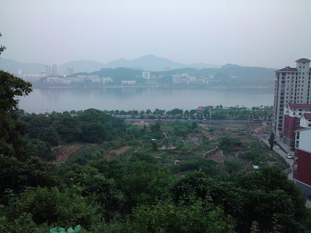
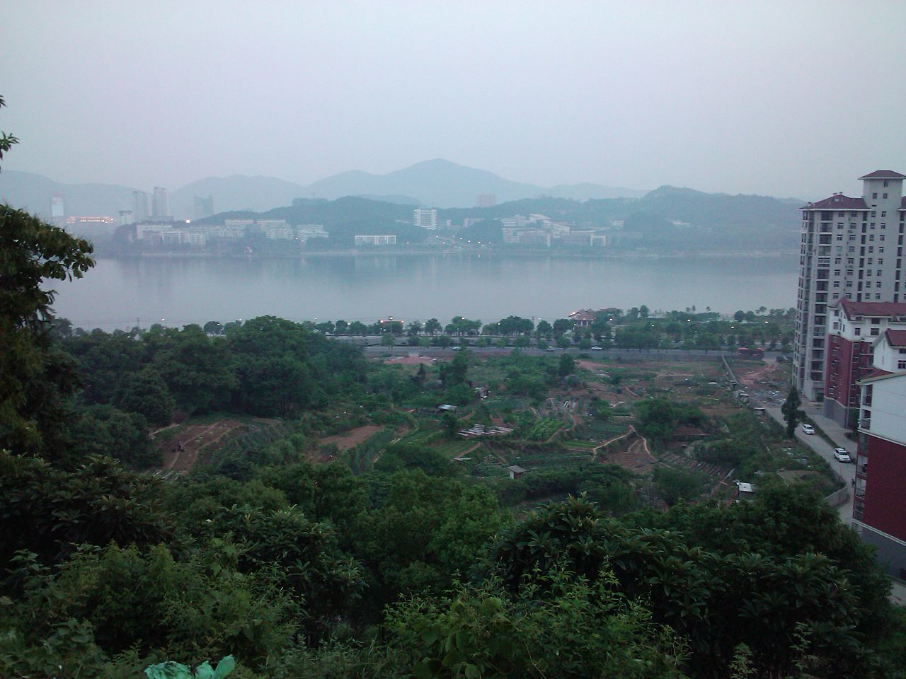
| Description | 楠竹林远看团城山 | ||
| Date | Taken on 30 May 2011 | ||
| Source | https://web.archive.org/web/20161023174538/http://www.panoramio.com/photo/53464720 | ||
| Author | 晴川 | ||
| Permission (Reusing this file) |
This file is licensed under the Creative Commons Attribution 3.0 Unported license. Attribution: 晴川
|
||
| Tags (from Panoramio photo page) | Huangshi, 楠竹林后山, 黄石市 |
| Camera location | | View this and other nearby images on: OpenStreetMap |
|---|
File history
Click on a date/time to view the file as it appeared at that time.
| Date/Time | Thumbnail | Dimensions | User | Comment | |
|---|---|---|---|---|---|
| current | 08:15, 26 November 2016 | | 2,560 × 1,920 (774 KB) | Panoramio upload bot (talk | contribs) | == {{int:filedesc}} == {{Information |description=楠竹林远看团城山 |date={{Taken on|2011-05-30}} |source=http://www.panoramio.com/photo/53464720 |author=[http://www.panoramio.com/user/5883654?with_photo_id=53464720 晴川] |permission={{cc-by-3... |
You cannot overwrite this file.
File usage on Commons
The following page uses this file:
File usage on other wikis
The following other wikis use this file:
- Usage on es.wikipedia.org
- Usage on eu.wikipedia.org
- Usage on fr.wikipedia.org
- Usage on ko.wikipedia.org
- Usage on pl.wikipedia.org
- Usage on ru.wikipedia.org
- Usage on www.wikidata.org