File:Hartford KY tornado damage.jpg
Jump to navigation
Jump to search
Size of this preview: 800 × 450 pixels. Other resolutions: 320 × 180 pixels | 640 × 360 pixels | 1,024 × 576 pixels | 1,280 × 720 pixels | 2,560 × 1,440 pixels | 4,032 × 2,268 pixels.
Original file (4,032 × 2,268 pixels, file size: 1.09 MB, MIME type: image/jpeg)
Captions
Captions
Add a one-line explanation of what this file represents
Summary
[edit]
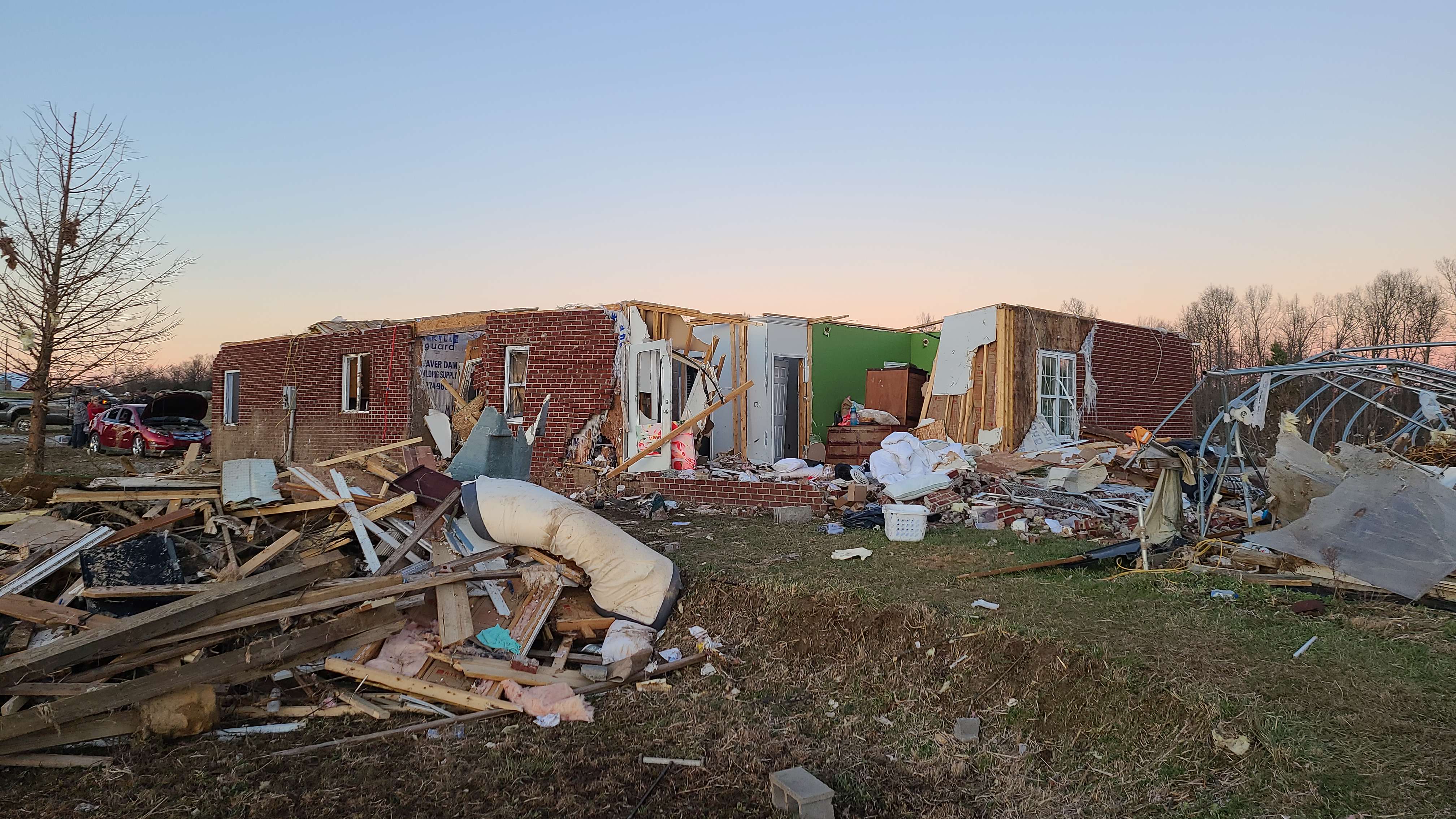
| Description | Major structural damage to a house near Hartford, Kentucky. |
| Date | |
| Source | https://apps.dat.noaa.gov/stormdamage/damageviewer/ |
| Author | NWS Louisville |
| Permission (Reusing this file) |
National Weather Service |
| Camera location | | View this and other nearby images on: OpenStreetMap |
|---|
Licensing
[edit]
This file is in the public domain in the United States because it was solely created by employees of the National Weather Service or National Severe Storms Laboratory using the Damage Assessment Toolkit (DAT), an interactive map and database.
|
File history
Click on a date/time to view the file as it appeared at that time.
| Date/Time | Thumbnail | Dimensions | User | Comment | |
|---|---|---|---|---|---|
| current | 05:07, 6 January 2022 | | 4,032 × 2,268 (1.09 MB) | TornadoInformation12 (talk | contribs) | {{Information |Description=Major structural damage to a house near Hartford, Kentucky. |Source=https://apps.dat.noaa.gov/stormdamage/damageviewer/ |Date=December 12, 2021 |Author=NWS Louisville |Permission=National Weather Service |other_versions= }} |
You cannot overwrite this file.
File usage on Commons
The following page uses this file:
- File:HardfordKYtornadodamage.jpg (file redirect)
File usage on other wikis
The following other wikis use this file:
- Usage on en.wikipedia.org
- Usage on ja.wikipedia.org