Category:Maps of Saint-Geniès (Dordogne)
Jump to navigation
Jump to search
Subcategories
This category has the following 5 subcategories, out of 5 total.
Media in category "Maps of Saint-Geniès (Dordogne)"
The following 3 files are in this category, out of 3 total.
-
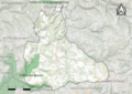 24412-Saint-Geniès-SIC.png 4,677 × 3,307; 8.86 MB
-
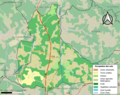 24412-Saint-Geniès-Sols.png 3,270 × 2,598; 2.53 MB
-
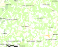 Map commune FR insee code 24412.png 756 × 605; 46 KB


