Category:Maps of Monrovia
Jump to navigation
Jump to search
Wikimedia category | |||||
| Upload media | |||||
| Instance of | |||||
|---|---|---|---|---|---|
| Category combines topics | |||||
| Monrovia | |||||
capital city of Liberia | |||||
| Spoken text audio | |||||
| Instance of | |||||
| Named after | |||||
| Location | Greater Monrovia District, Montserrado County, Liberia | ||||
| Located in or next to body of water | |||||
| Inception |
| ||||
| Significant event |
| ||||
| Population |
| ||||
| Area |
| ||||
| Different from | |||||
 | |||||
Media in category "Maps of Monrovia"
The following 20 files are in this category, out of 20 total.
-
Greater Monrovia District - Bardnesville Township highlighted.png 1,318 × 1,314; 41 KB
-
Greater Monrovia District - Caldwell Township highlighted.png 1,318 × 1,314; 41 KB
-
Greater Monrovia District - Congo Town highlighted.png 1,318 × 1,314; 41 KB
-
Greater Monrovia District - Dixville Township highlighted.png 1,318 × 1,314; 41 KB
-
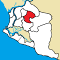
Greater Monrovia District - Gardnesville Township highlighted.png 1,318 × 1,314; 41 KB
-
Greater Monrovia District - Garworlon Township highlighted.png 1,318 × 1,314; 41 KB
-
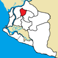
Greater Monrovia District - Johnsonville Township highlighted.png 1,318 × 1,314; 41 KB
-
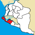
Greater Monrovia District - Monrovia City Corporation highlighted.png 1,318 × 1,314; 41 KB
-
Greater Monrovia District - New Georgia Township highlighted.png 1,318 × 1,314; 41 KB
-
Greater Monrovia District - New Kru Town Borough highlighted.png 1,318 × 1,314; 40 KB
-
Greater Monrovia District - Paynesville City Corporation highlighted.png 1,318 × 1,314; 41 KB
-
Greater Monrovia District - West Point Township highlighted.png 1,318 × 1,314; 41 KB
-
Greater Monrovia District blank.png 1,318 × 1,314; 41 KB
-
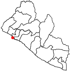
LocationMonrovia.png 408 × 418; 7 KB
-
Map of Monrovia.png 1,876 × 1,779; 382 KB
-
Monrovia 1830.jpg 718 × 720; 125 KB
-
Monrovia Plan Map 1830.jpg 583 × 583; 76 KB
-
Shantytown map Monrovia (cropped).jpg 891 × 682; 342 KB
-
Shantytown Monrovia.jpg 894 × 1,357; 933 KB


