Category:1916 Atlantic hurricane season
Jump to navigation
Jump to search
Deutsch: Atlantische Hurrikansaison 1916
English: 1916 Atlantic hurricane season
Français : Saison cyclonique 1916 dans l'océan Atlantique nord
Svenska: Orkaner i Atlanten under 1916
| Atlantic hurricanes in the 1910s: | ← 1910-1911-1912-1913-1914-1915-1916-1917-1918-1919 → |
hurricane season in the Atlantic Ocean | |||||
| Upload media | |||||
| Instance of | |||||
|---|---|---|---|---|---|
| Point in time |
| ||||
| |||||
Subcategories
This category has the following 2 subcategories, out of 2 total.
1
- 1916 Asheville Flood (19 F)
T
- 1916 Texas hurricane (9 F)
Media in category "1916 Atlantic hurricane season"
The following 33 files are in this category, out of 33 total.
-
1916 Atlantic hurricane season map.png 990 × 764; 240 KB
-
1916 Atlantic hurricane season reanalysis1.jpg 1,799 × 1,351; 587 KB
-
1916 Atlantic hurricane season summary map.png 3,000 × 1,980; 4.11 MB
-
1916 Atlantic hurricane season summary.jpg 3,000 × 1,959; 541 KB
-
Alabama - Mobile Bay - DPLA - 3851c600f86ce00e3b25579d069b252a.jpg 4,581 × 2,838; 1.57 MB
-
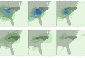
Animation-of-Meteorological-Conditions-July-13-to-16-1916.gif 1,051 × 1,089; 1.13 MB
-
Animation-of-Meteorological-Conditions-July-7-to-11-1916.gif 1,054 × 1,089; 1.08 MB
-
Damage in St. Croix after 1916 hurricane.jpg 2,776 × 1,552; 2.43 MB
-
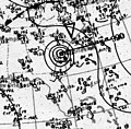
Hurricane Eight surface analysis 1 Sep 1916.jpg 720 × 708; 88 KB
-
Hurricane Eleven surface analysis 22 Sep 1916.jpg 720 × 676; 88 KB
-
Hurricane Four surface analysis 14 Jul 1916.jpg 720 × 706; 108 KB
-
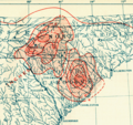
Hurricane Fourteen 1916 US rainfall.png 1,242 × 1,214; 94 KB
-
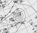
Hurricane Fourteen surface analysis 15 Oct 1916.jpg 720 × 662; 96 KB
-
Hurricane Fourteen surface analysis 18 Oct 1916.jpg 720 × 658; 120 KB
-
Hurricane Seven surface analysis 22 Aug 1916.jpg 720 × 662; 76 KB
-
Hurricane Six surface analysis 18 Aug 1916.jpg 720 × 705; 106 KB
-
Hurricane Ten surface analysis 19 Sep 1916.jpg 720 × 651; 78 KB
-
Hurricane Thirteen surface analysis 11 Oct 1916.jpg 720 × 638; 86 KB
-
Hurricane Three surface analysis 16 Jul 1916.jpg 720 × 669; 102 KB
-
Hurricane Two 1916 rainfall map.png 780 × 738; 164 KB
-
Hurricane Two surface analysis 5 Jul 1916.jpg 720 × 677; 94 KB
-
Mangled coal crane after 1916 hurricane in Virgin Islands.png 690 × 460; 251 KB
-
South Atlantic rainfall July 14-18 1916.png 1,328 × 1,249; 2.89 MB
-
St. Thomas after 1916 hurricane.jpg 2,035 × 1,437; 2.73 MB
-
Steamship washed ashore at Mobile by July 1916 hurricane.png 812 × 541; 456 KB
-
Surface Map from Saturday October 21 1916 following Black Friday.png 2,209 × 1,865; 2.82 MB
-
The southeast floods of 1916.jpg 1,816 × 1,196; 551 KB
-
Tropical Storm Fifteen surface analysis 14 Nov 1916.jpg 720 × 623; 83 KB
-
Tropical Storm Nine surface analysis 5 Sep 1916.jpg 720 × 679; 89 KB
-
Tropical Storm Twelve surface analysis 4 Oct 1916.jpg 720 × 694; 129 KB
-
Wea00717 - Flickr - NOAA Photo Library.jpg 1,820 × 1,188; 465 KB


